|
| Wow. New custom sign at the parking lot. |
 |
| Jct of NET and Lone Pine Trail East |
Well, hello there. It's been awhile. Let's go for a hike up that odd spur of the NET that goes off to the northeast for no apparent reason. You can also think of it as the entire eastern half of the historic Mattabesett Trail. Not exactly sure why this section spur was incorporated into the NET, but it was, so let's get started at Rockland Preserve in Madison. That's where we left off at the junction of the the NET and Lone Pine Trail back in February of 2012.
Why today? Because it was 62°. In July. This post covers two separate hikes, but both days were cool and rainy, so we'll pretend they were all taken the same day. Sadly, I forgot my better camera on the second trip, so that's why some of the photos look like they were taken with a cell phone camera.
 |
| A pair of longhorn beetles |
There is a good sized hiker parking lot at the end of Renee's Way for
Rockland Preserve. The first thing I noticed in the parking lot was the impressive custom map of the NET and Rockland Preserve. One of the fun parts about hiking the NET now is that they are still in the process of upgrading and extending the trail. Back when it was just the Mattabesett, it would never had gotten a sign like that, but having been upgraded to a
National Scenic Trail, things are changing. There's another custom sign at the junction of the NET and
Lone Pine Trail about a quarter mile from the parking lot. It wasn't there in February 2012.
Rockland Preserve has quite a network of trails and nicely done interpretive signs. The signs are pretty similar to ones you typically see along any interpretative trail in Connecticut, like the ever popular "glacial erratic." My favorites were at the recreation of a charcoal-making site.
 |
| Charcoal-Making site at Rockland Preserve |
 |
| Sulfur Shelf Mushroom. Mmmm. |
At one point I spotted the unnatural yellow and orange of a large sulfur shelf mushroom off in the woods about 40 feet. I broke off some of the edges, put them in plastic baggies, and sauteed them up with butter later that night. This is the only mushroom that I eat, since it really can't be confused with anything else that is toxic and it's delicious, also called 'Chicken of the Woods'. It's been two years since I've found one like this. I only take a few edges, and leave the rest of the mushroom alone so it can propagate. Too many wild foragers think they can just harvest whatever they find and somehow that won't affect the population. Mostly I stick to harvesting non-native plants.
The first part of the trail at Rockland Preserve is well-traveled, but eventually it separates from the red trail loop of Rockland Preserve, and becomes more narrow and somewhat overgrown in places as it heads north towards the Mice Ledges. One of the best finds of the day was an improbable patch of the spring wildflower Round-Lobed Hepatica growing in a tree trunk next to the trail, as if the tree were a planter.
 |
| A beautiful patch of the wildflower Hepatica growing in a tree |
 |
| Round-Lobed Hepatica |
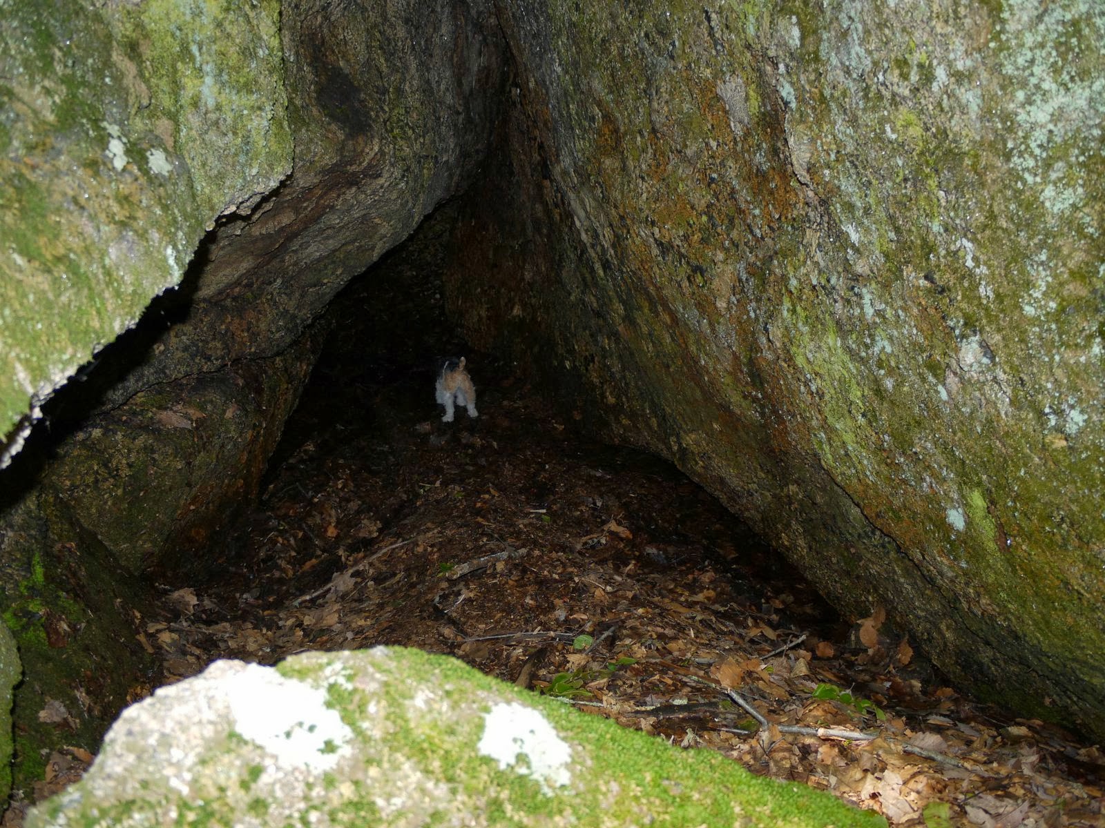
The trail then comes out to a series of outcrops called the "Mica Ledges." The NET spur doesn't have traprock ridges like the mainline trail, but the ledges have the same feel. And yes, there is mica, but there is mica in most Connecticut rock.
 |
| A cool, misty day in July. Very rare. |
The rock was slick with occasional drizzle, so the going was slow and included a couple of butt-slides and one uphill rock scramble that I took my boots to get better footing. But the views were worth it.
 |
| "Selectmen's Stones" mark the border of Madison, Guilford, and Durham |
Along the ledges, a large cairn marks the junction of Madison, Guilford, and Durham. If you look close, you can seem some old dates inscribed on some of the rocks along with "M", "G", or "D". According to page 64 of my CT Walk Book, boundaries were often marked in a ritual called Perambulation, or "Beating the Bounds," a custom that goes back to the Celts. Town or church leaders would walk the boundaries with their mostly illiterate residents to make sure they knew the local boundaries. As an aid to memory, the boundary markers were sometimes beaten with willow wands. There were no willows nearby with which to make a wand, so I took a couple photos with my cell phone camera instead.
 |
| "1894" |
 |
| Huckleberries |
Up at the top there were a few delicious Huckleberries ready to be picked. You don't get many, but they can be quite tasty if there has been enough rain. Huckleberries are taller than the lowbush blueberries, tend to ripen a bit later, and the berries are very black without that haze that blueberries get.
I didn't leave the park alone. Here's a little hitchhiker that was crawling around my hand. That's the 5th nymph-stage deer tick so far this summer! Argh.
 |
| Deer Tick Nymph (see it???) |